
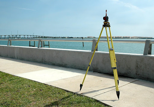
Land surveying is an essential process that involves measuring and mapping land areas to determine their boundaries and characteristics. It provides valuable information about the land that can help property owners make informed decisions.
Here are six reasons why you should get your land surveyed.
Property Boundaries and Ownership
One of the primary reasons to get your land surveyed is to determine your property boundaries and ownership. A land survey will help you determine the exact location and extent of your property, including any encroachments or overlapping property lines. This information is crucial when buying or selling property, resolving property disputes, or applying for a building permit.
Building and Development
If you plan to build or develop your land, a land survey is essential. It will provide you with accurate information on the topography, contours, and soil composition of your land. This information is necessary to determine the best location for the building, the placement of utilities, and grading.
A survey can also identify any potential hazards or obstacles, such as wetlands, flood zones, or steep slopes, that may impact your building plans.
Zoning Compliance
A land survey can help you determine if your property complies with local zoning regulations. Zoning laws regulate how property can be used, what structures can be built, and how much land can be covered by buildings.
A survey will provide you with the necessary information to ensure that your property complies with these regulations. If your property is not in compliance, a survey can help you identify the necessary steps to bring it into compliance.
Land Valuation
A land survey can also help you determine the value of your property. The land surveyors will provide you with detailed information about the size, shape, and characteristics of your land. This information can be used to determine the fair market value of your property, which is necessary for selling, buying, or refinancing your property.
Easements and Rights-of-Way
A land survey can also identify any easements or rights-of-way that may exist on your property. Easements are legal agreements that allow others to use a portion of your property for specific purposes, such as utility access or roadways.
A survey will identify the location and extent of any easements, which can help you avoid building structures or planting trees in these areas.
Historical Information
Finally, a land survey can provide valuable historical information about your property. Old survey maps can show the original boundaries and features of your property, which can be useful in understanding the history of the land. This information can also be important in resolving boundary disputes or claims of adverse possession.